top of page
Smart City Applications of Drones


3D Modeling
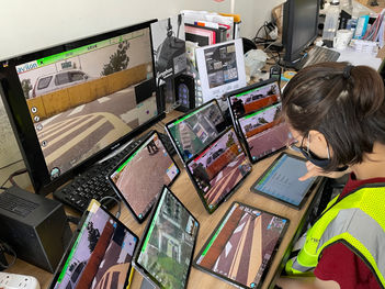
Traffic Monitoring

Scan to view more Smart City Application of drones
Products
Choose the type of drone that suits you best.
Drone Features
Make your operation Easiler
Ariel Mapping
Information Sharing Platform
RTK Enable
Fleet Managment
Automation
Variiety Payload Ccontrol
R & D in Taiwan
Both the hardware and software of the drone are developed and manufactured by the avilon in Taiwan, reducing cybersecurity risks.

1
Three Major Guarantees of avilon
Drone Flight Testing
avilon has an indoor flight verification field to simulate various flying scenarios and improve product stability and reliability

2
Drone Training
& after-sales Services
A comprehensive training mechanism enables customers to quickly get started, and real-time customer service is available to answer any questions.

3
Specification
Ground Control
bottom of page


